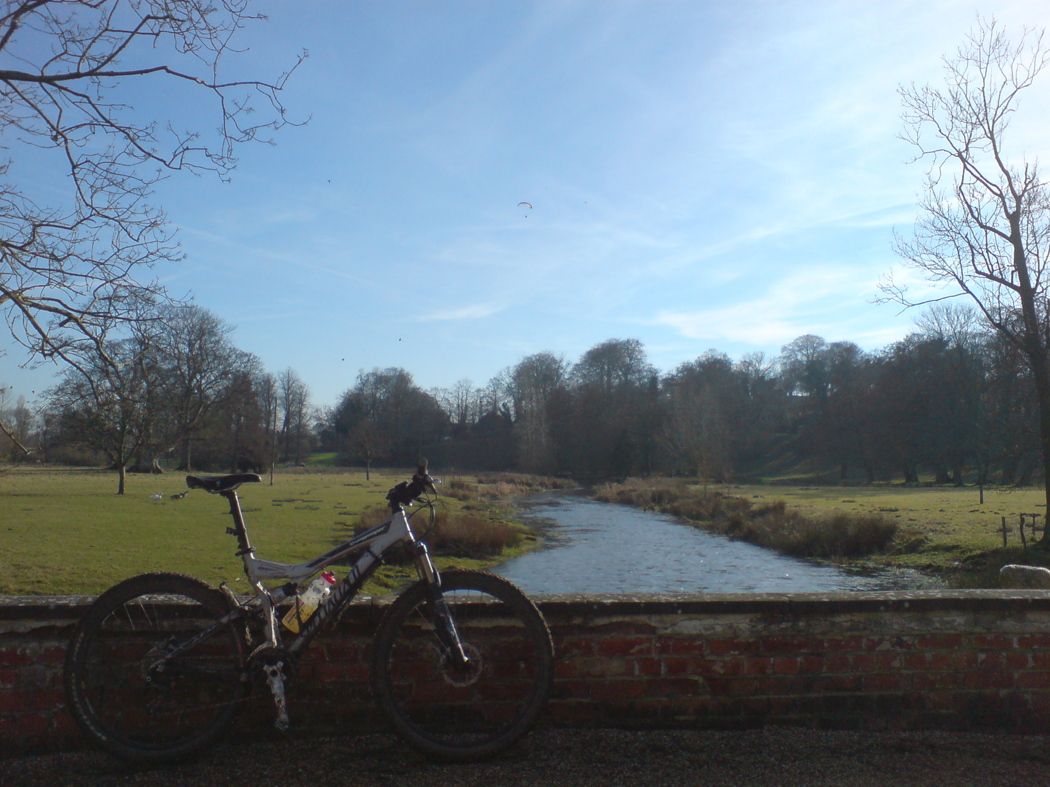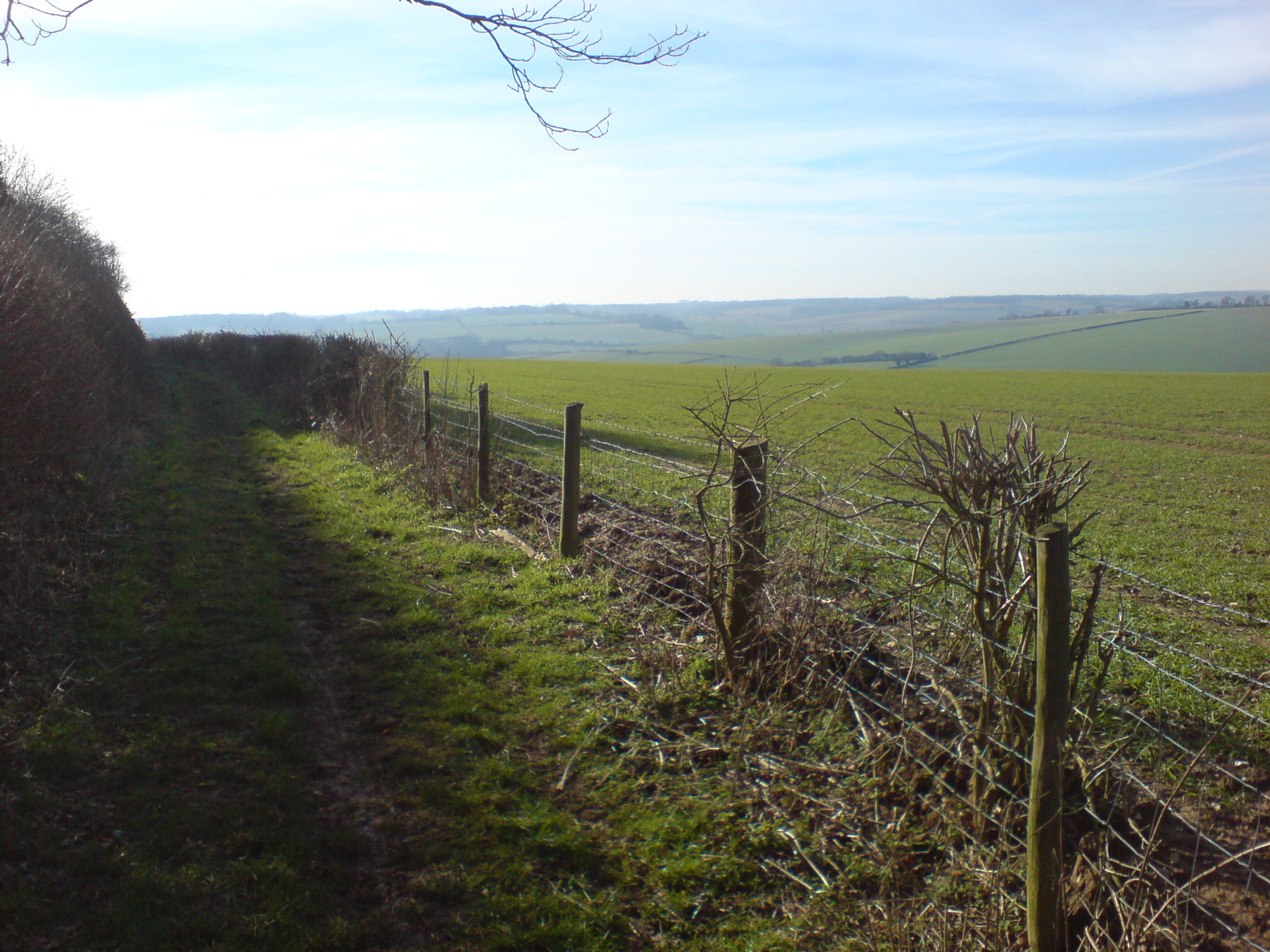
Here is a route I went on today on my Mountain Bike, thought I’d share it as its a good one. Helps explain the mysterious red “Works Unit” sign from the M4! Also gave me a chance to try out Google Maps plotting tools. Some Photos:
Here is a route I went on today on my Mountain Bike, thought I’d share it as its a good one. Helps explain the mysterious red “Works Unit” sign from the M4! Also gave me a chance to try out Google Maps plotting tools. Some Photos: